Description
SPECIFICATIONS
|
Navigation |
• Navionics+ and Navionics Platinum+ charts with 3D mode, detailed sonar charts and depth shadows. Over The Air updates. • Port-to-port routing • 10 Hz GPS |
|
Connectivity |
• 4G/LTE (USA/Canada version has different 4G frequencies – FCC compliant). • WLAN client and hotspot • Bluetooth LE • NMEA 2000® • WLAN • Data BUS |
|
Display
|
• Ultra-durable 3mm glass, IPS TFT with anti-reflective and anti-fingerprint coating • 10-inch resolution: 1280*800 (WXGA) brightness typ. 850 cd/m2, min. 760 cd/m2 contrast ratio typ. 800, min. 600 • 12-inch resolution: 1280*800 (WXGA) brightness typ. 850 cd/m2, min. 760 cd/m2 contrast ratio typ. 800, min. 600 • 16-inch resolution: 1920*1080 (Full-HD) Brightness typ. 1000 cd/m2, min. 800 cd/m2 Contrast ratio typ. 800, min. 600 |
|
Entertainment |
• Audio amplifier 2 x 20W • Dual, stereo channel, RCA audio output (not amplified) • FM/DAB radio receiver • Bluetooth • Hotspot network sharing |
FEATURES
Navigation
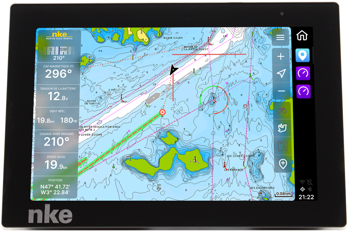
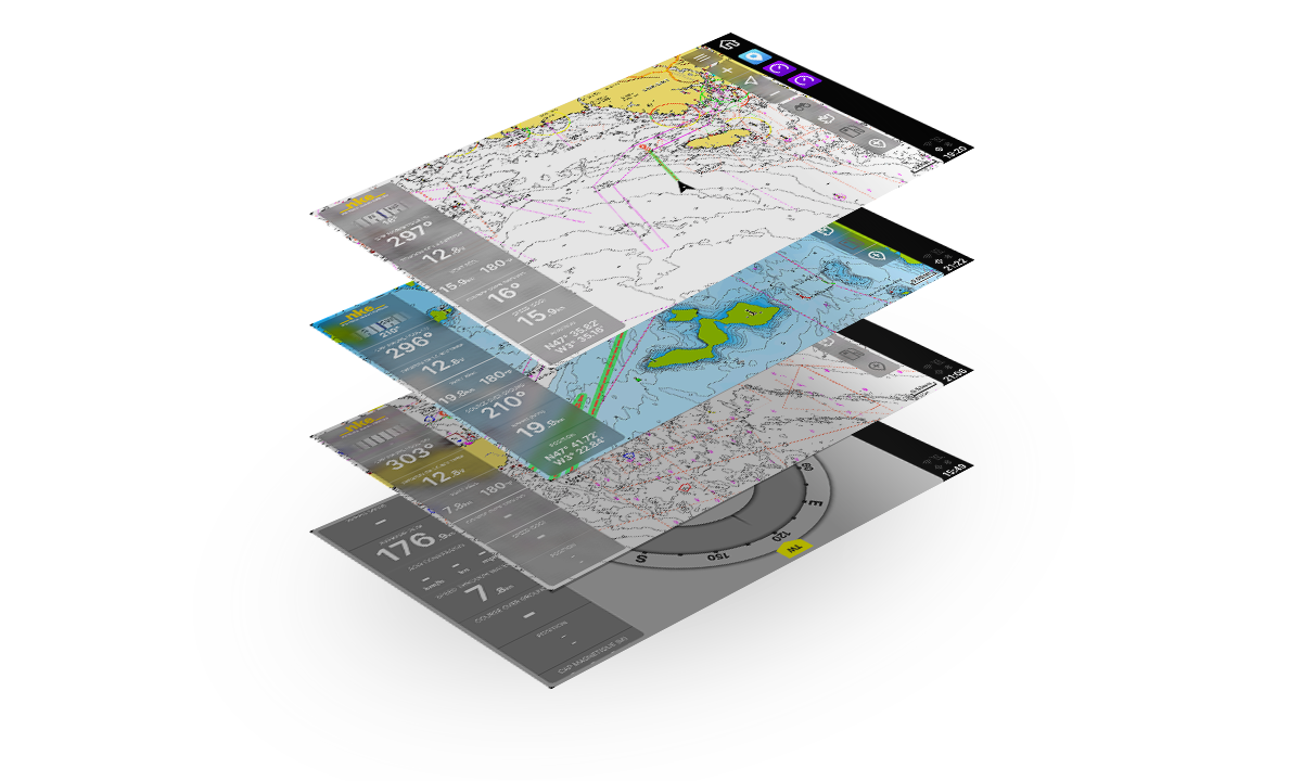
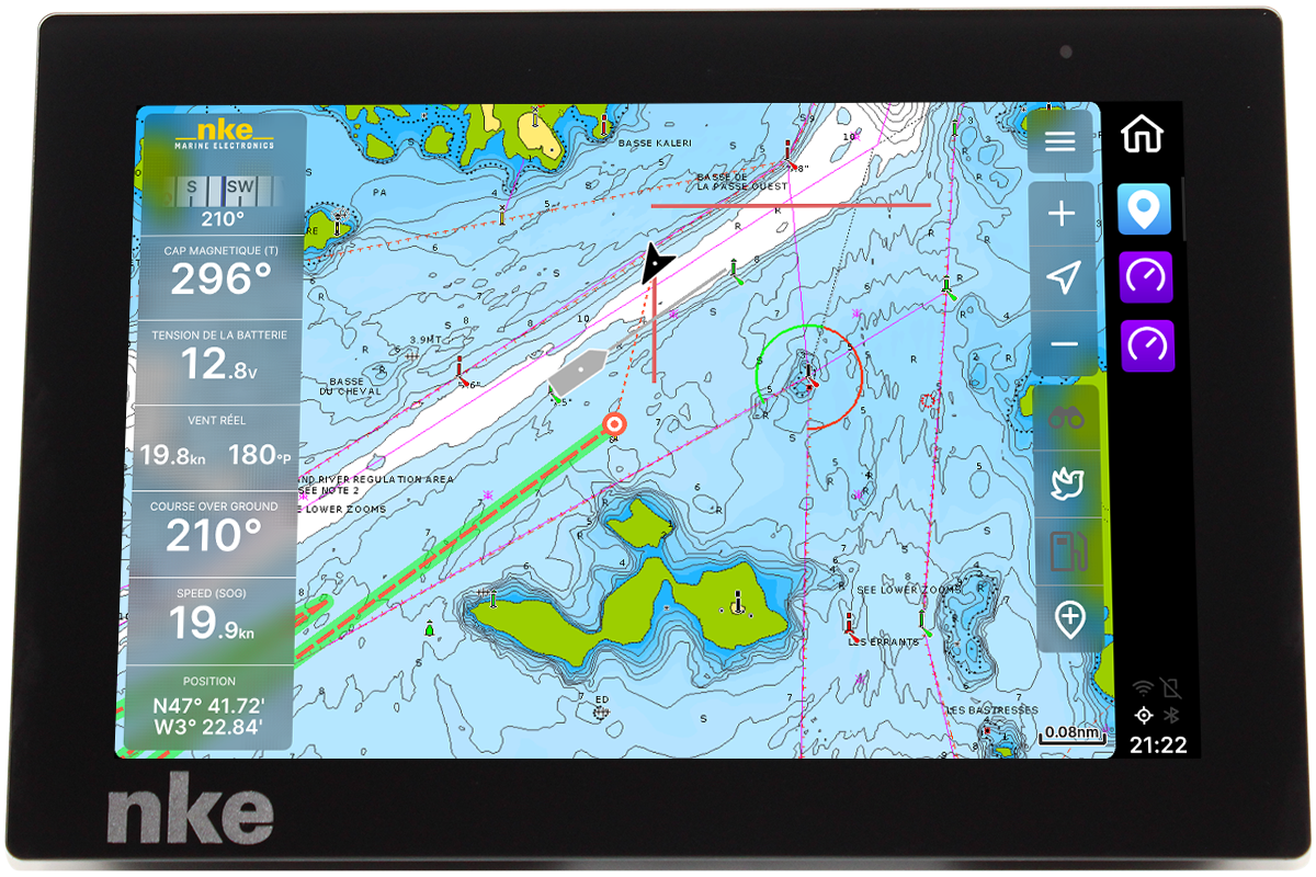
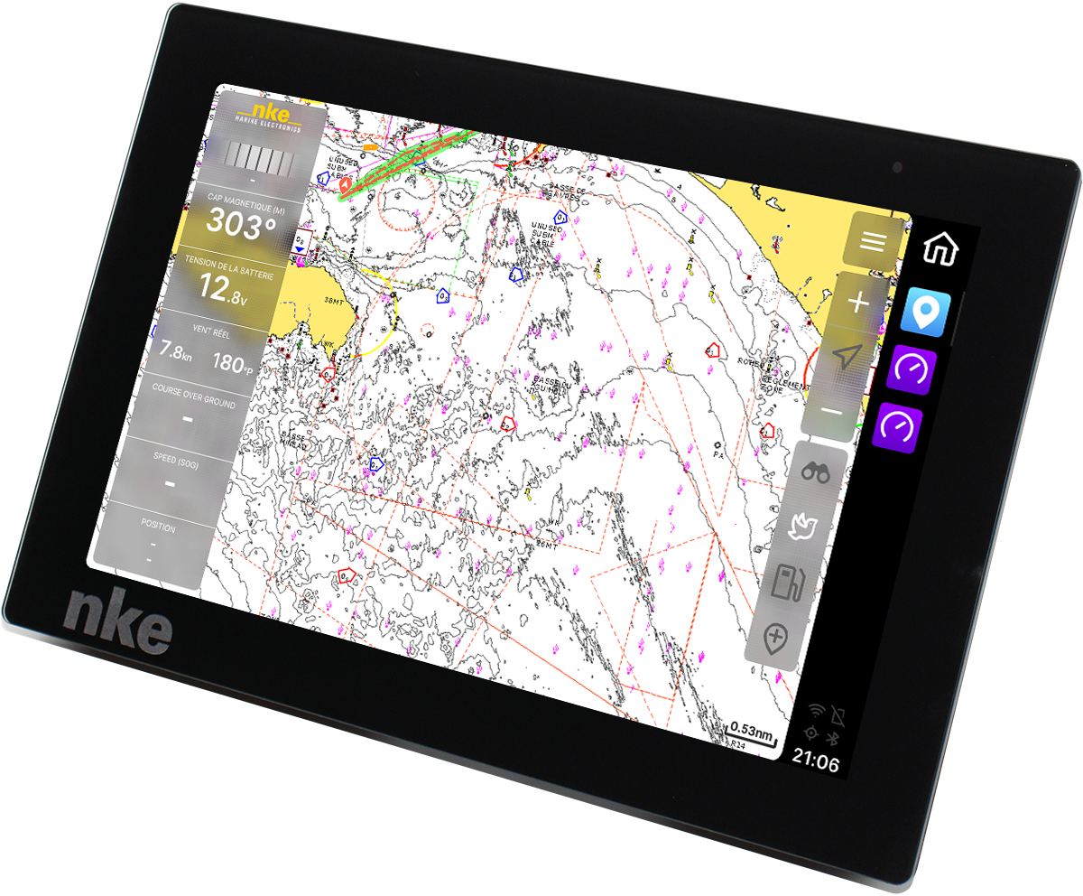
- The chartplotter NavXP is compatible with Navionics+ and Navionics Platinum+ charts, the world leaders in this field. Navionics charts offer an excellent selection of layers and features, making them perfect for both the user who wants to see everything and the user who just wants the basics. Navionics charts are also the most reliable on the market with daily updates that can be applied wirelessly to the plotter, which means you’ll always have the most up-to-date map data.
- Of course, the plotter also communicates locally with your boat via the NMEA 2000® network. This gives you access to all the data measured by your onboard instruments.
- A radar option is available as well as a multibeam sounder module.
Safety
To make route planning as convenient as possible, we’ve made sure you can plan your routes at home, so you have more time to focus on boating. Sometimes spontaneous trips are great, so the Auto-Route feature lets you quickly calculate a safe route to your destination based on your boat’s size. You’ll be alerted automatically if the weather suddenly deteriorates. This allows you to find safe moorings before storms hit.

Reviews
There are no reviews yet.